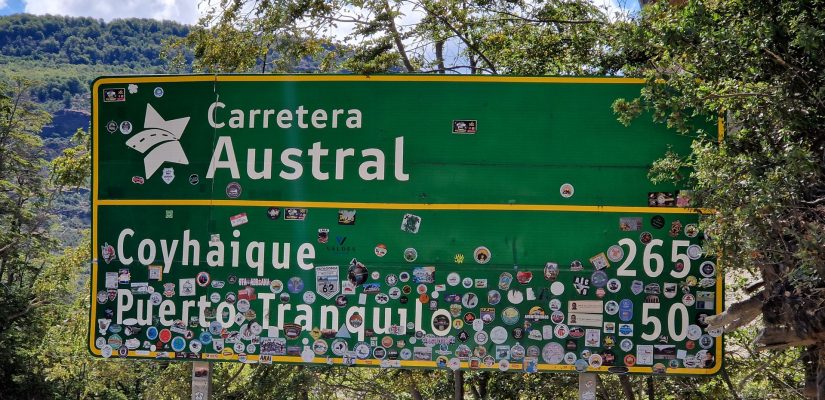
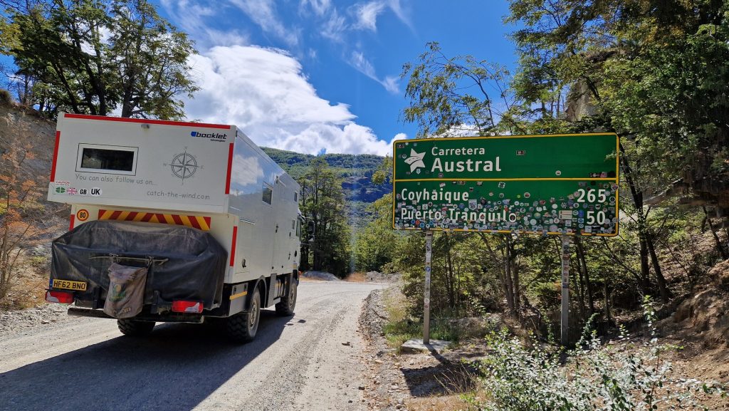
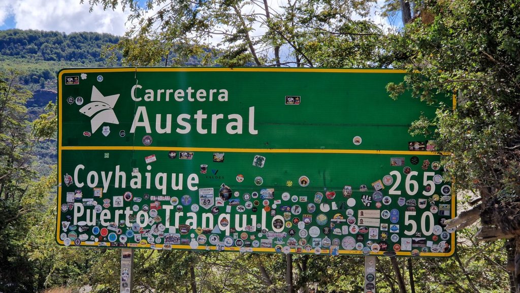
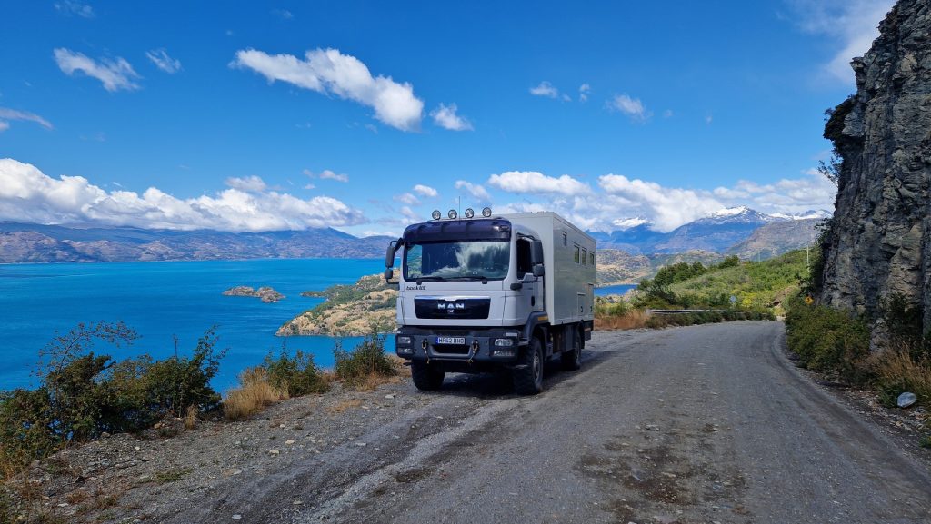
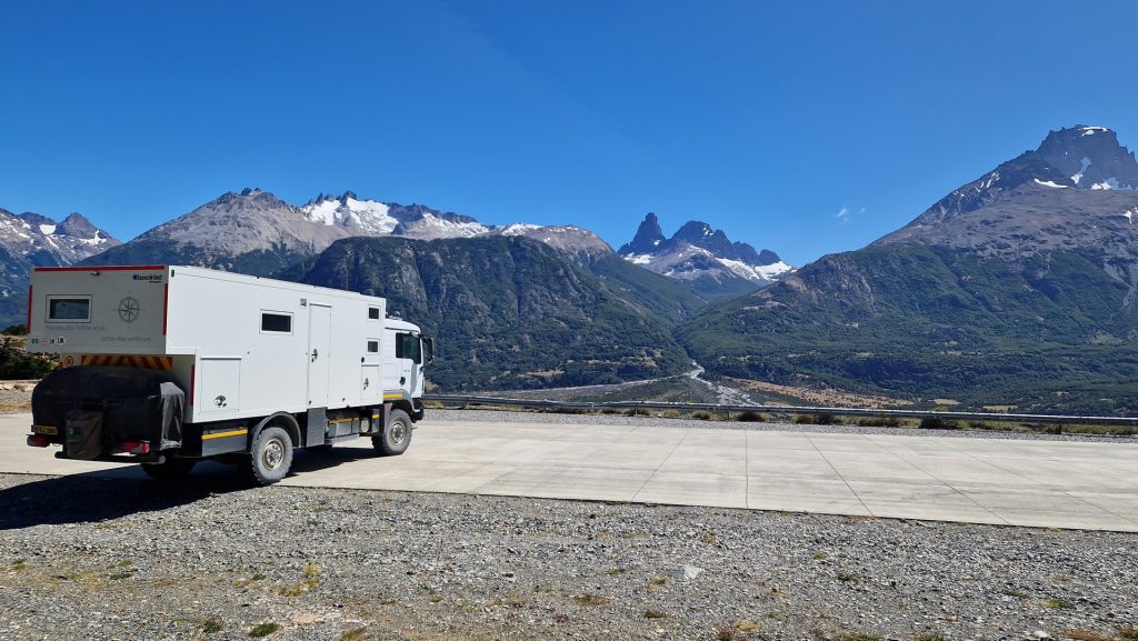
The Carretera Austral – Part 1
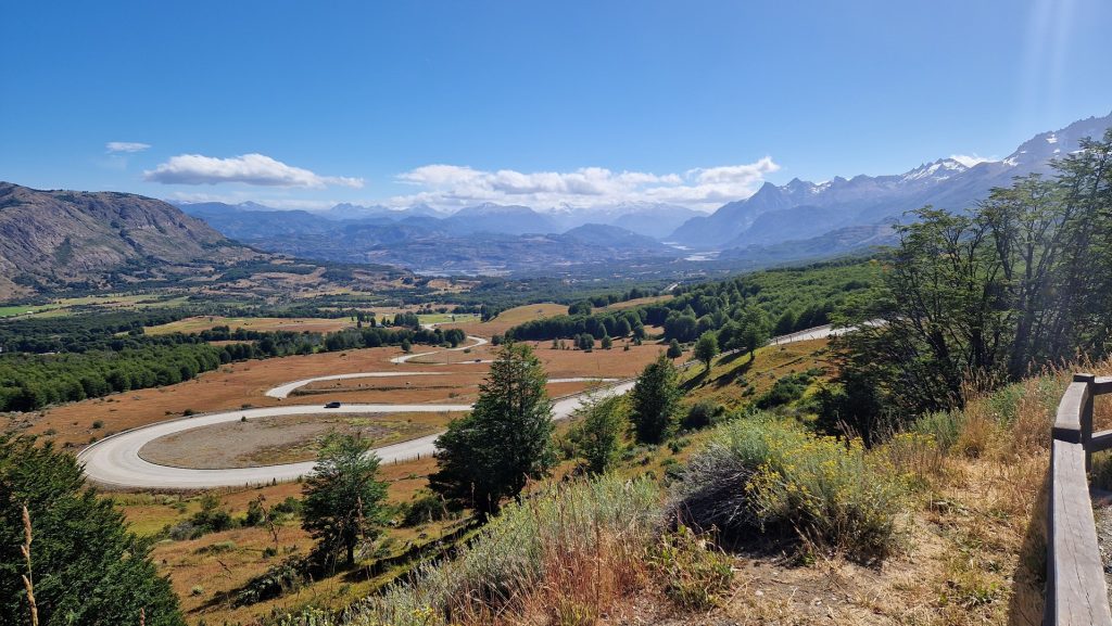
Have you ever heard of the Carretera Austral? Don’t worry, nor had we. Completed in 1996 after 20 years of construction, at the behest of General Pinochet, it connects the remote Southern Chilean settlements (formally only reachable by plane or boat) to the rest of Chile. Unfortunately, the mountainous terrain beat the engineers and the Carretera Austral ends at Villa O’Higgins – literally in the middle of nowhere. Nonetheless, this magnificent road goes north from Villa O’Higgins via four ferries to Puerto Montt, a distance of 1240km. About half of it is sealed road, the other half being gravel track or ‘ripio’. The road is incredibly scenic, where in a single vista one can see mountains, glaciers, forest and lakes.
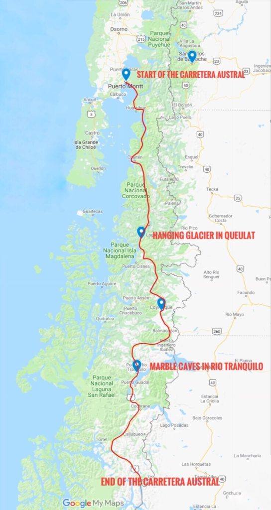
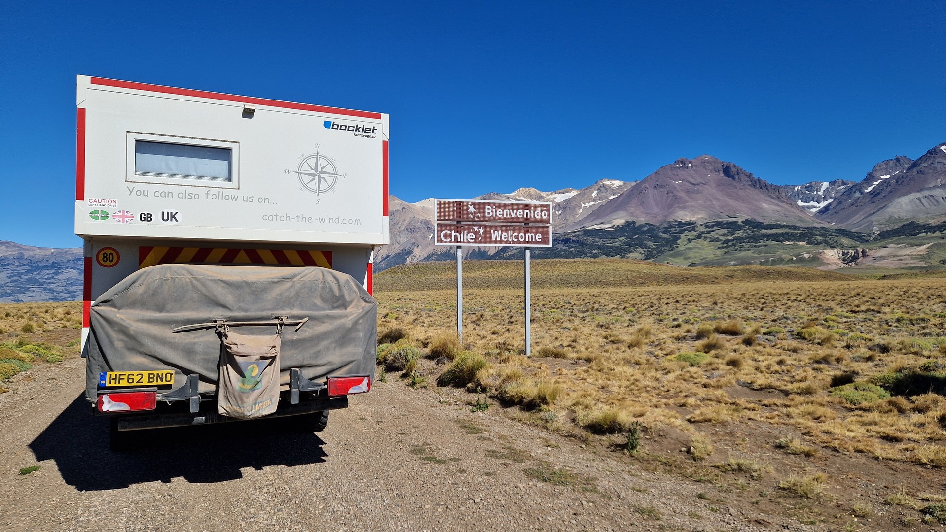
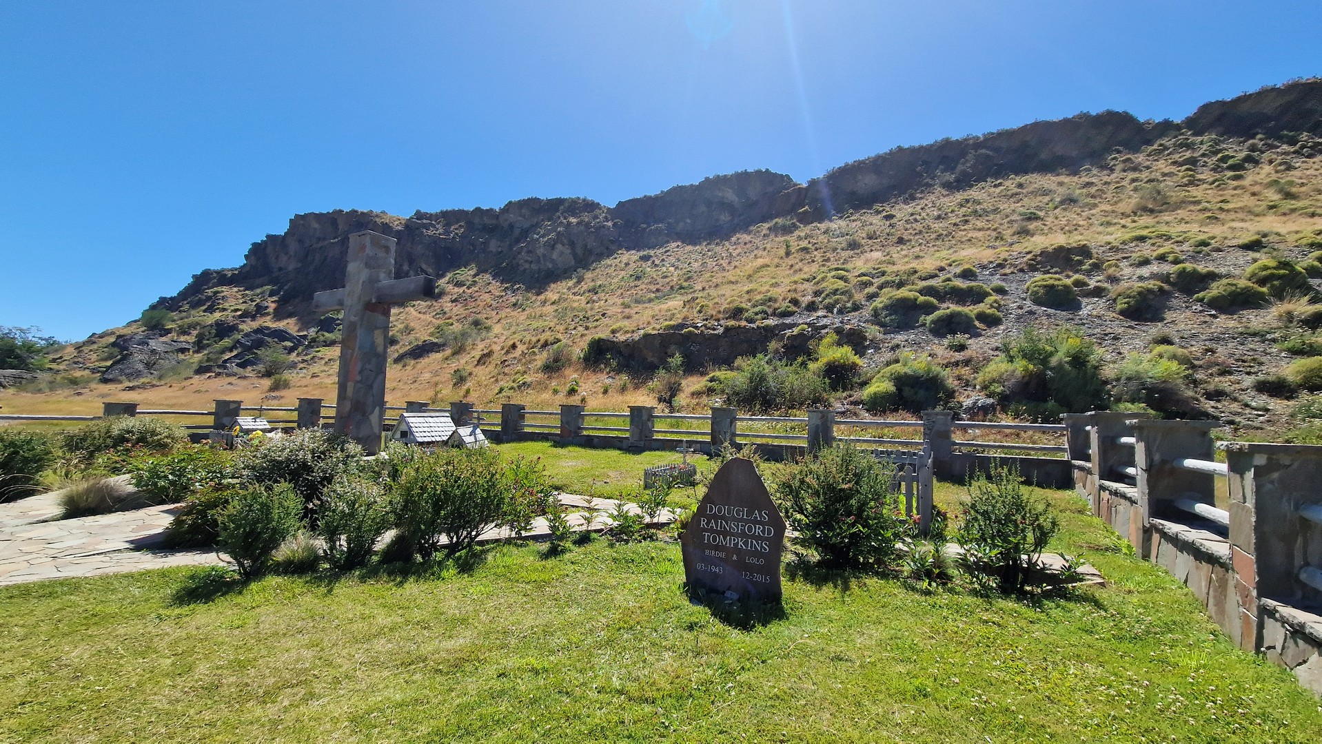
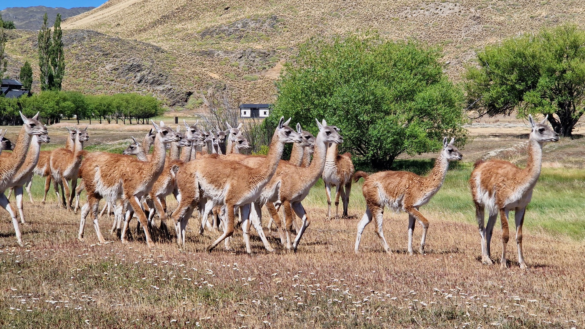
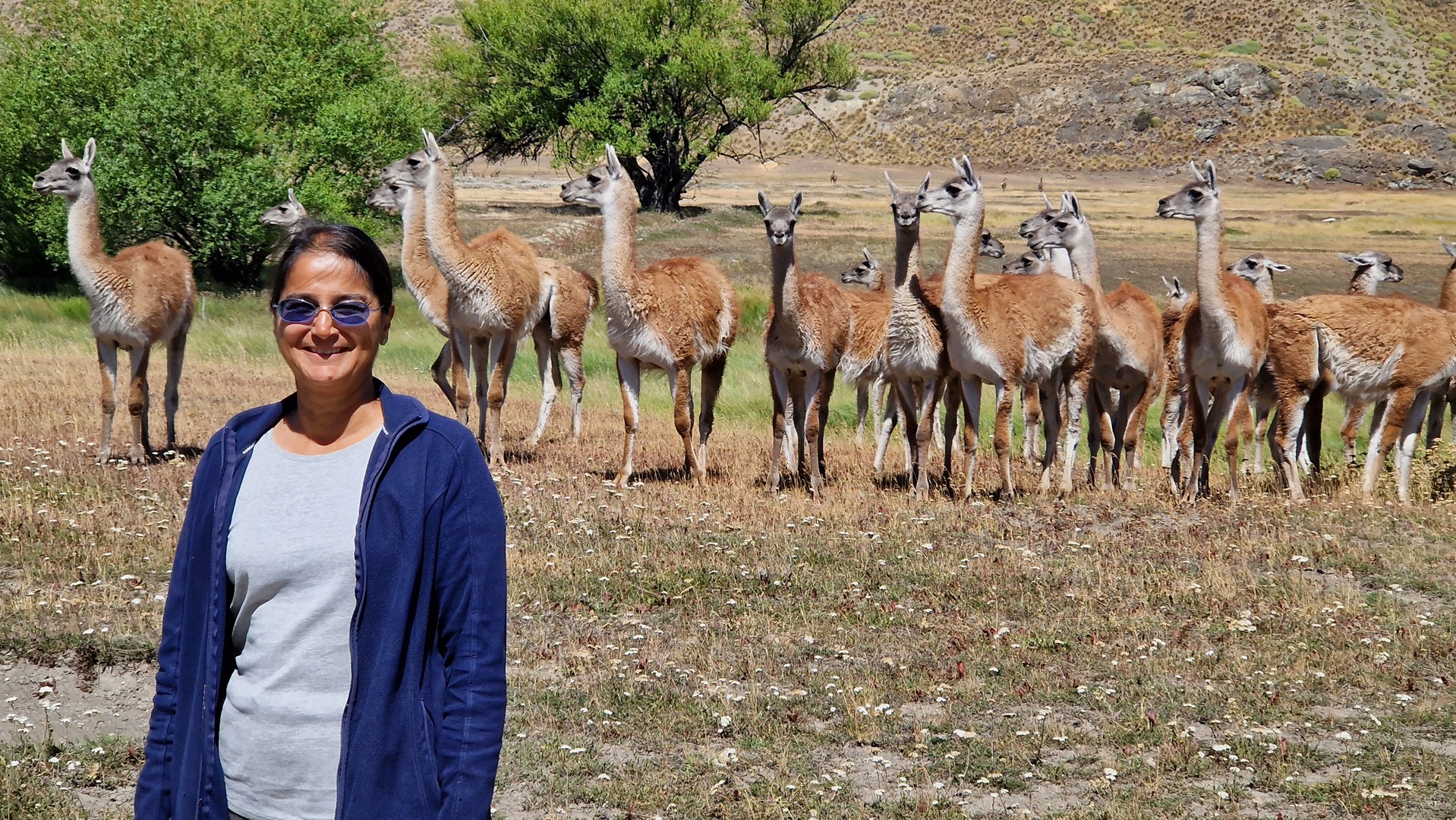
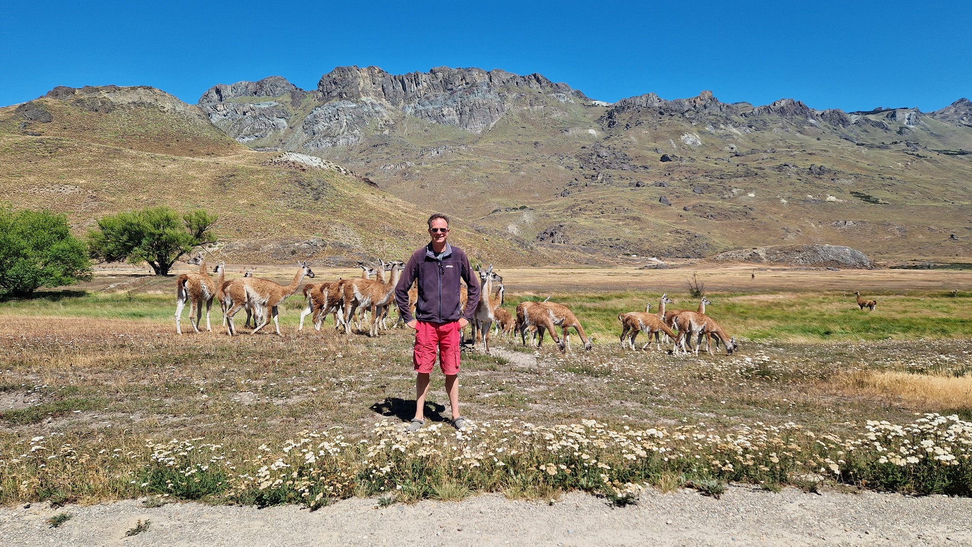
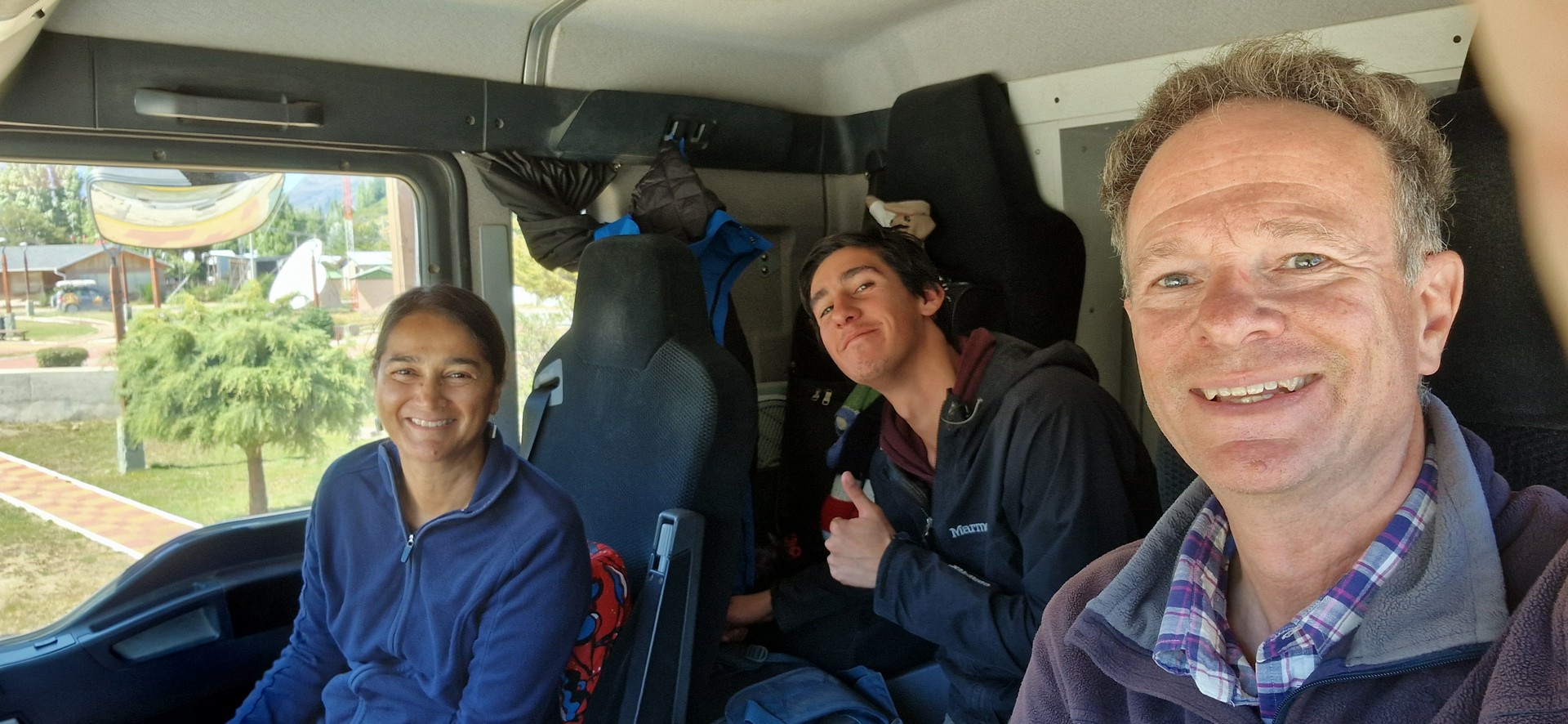
Crossing from Argentina at the Paso Roballos border post, we travelled through the Parque Nacional Patagonia and took the opportunity to visit Douglas Tompkins’s grave at the park’s headquarters, before joining the Carretera Austral just north of Cochrane, a nice town where we bought provisions from the shop that sells everything: outboard motors, door hinges, horse saddles, snow chains, knitting wool, clothes and food – to name a few.
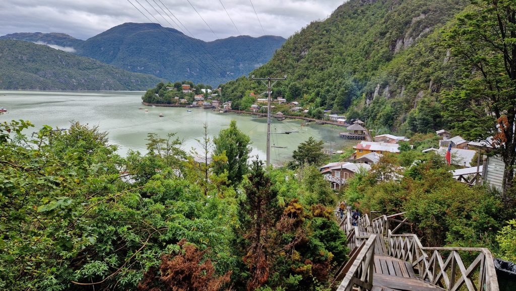
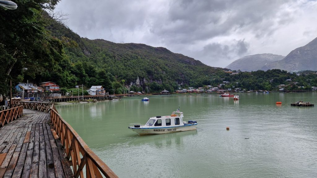
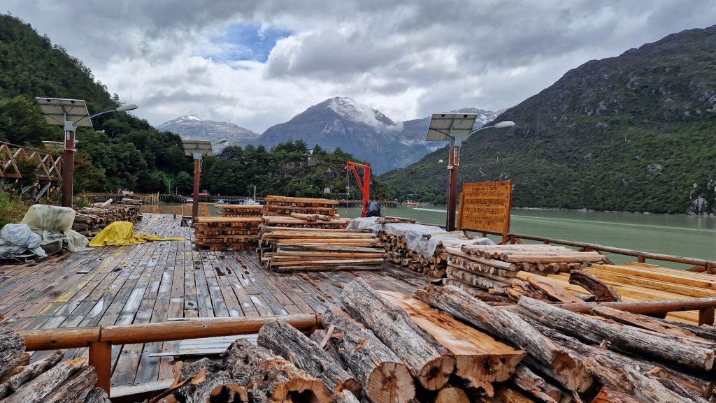
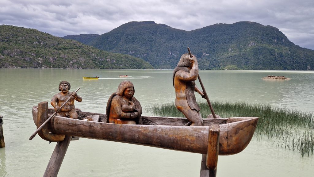
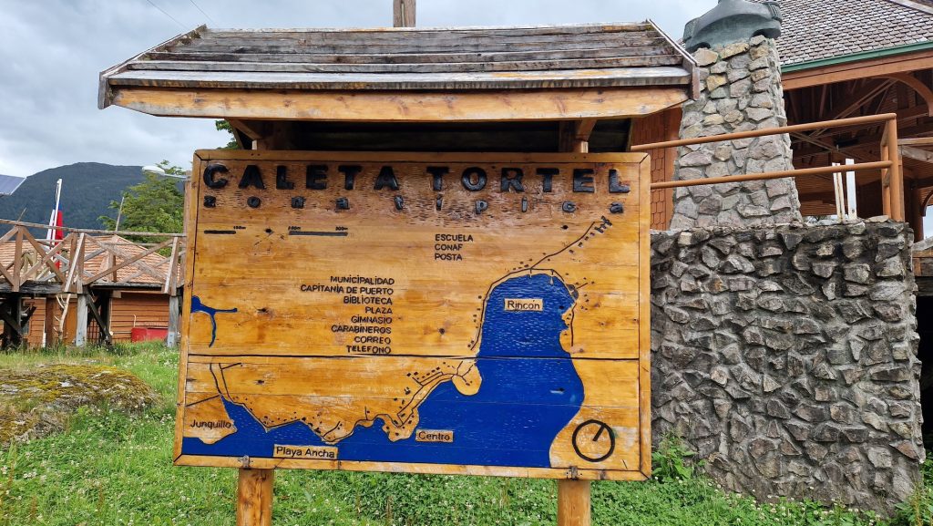
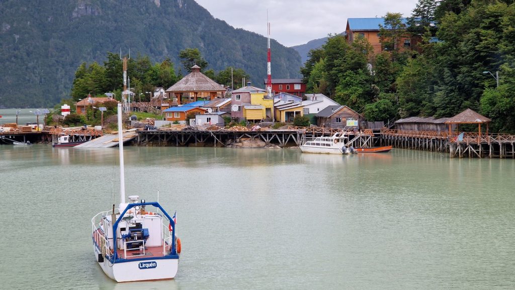
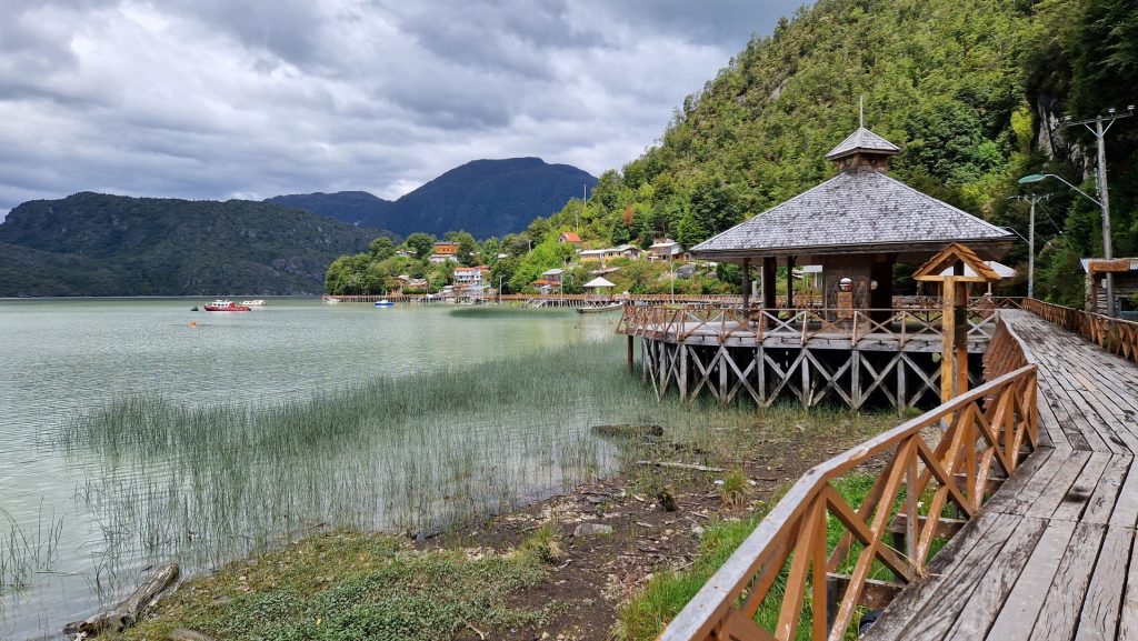
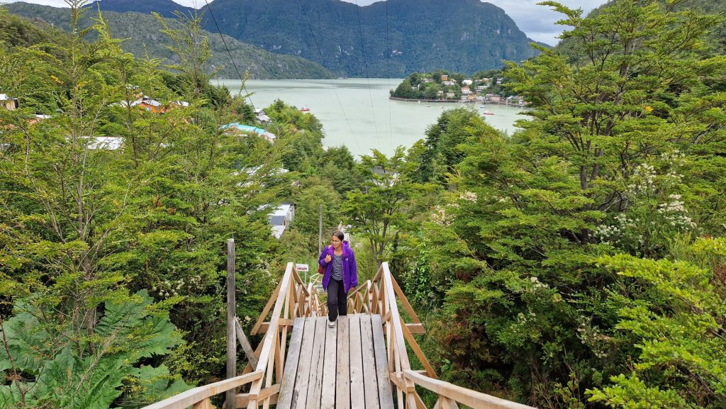
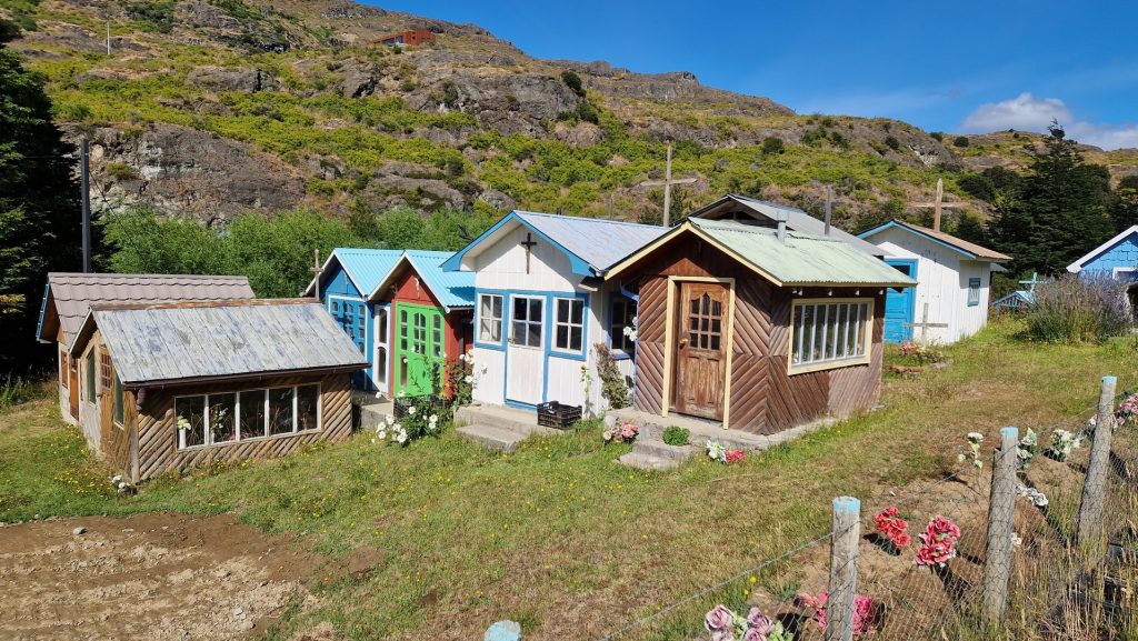
From Cochrane we headed south to Tortel, an interesting town located on a fjord where all the dwellings are linked by boardwalks. We explored the town and then retreated to Big Bertha as bad weather set in.
Our intention was to head further south, all the way to Villa O’Higgins, and then double back, but a bad weather forecast deterred us going further down the ever-narrowing gravel track (particularly after having talked to our friends Neil and Pat who unfortunately overturned their truck on this stretch of road some years earlier).
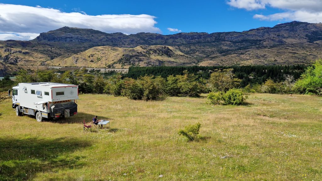
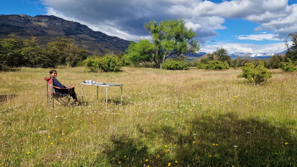
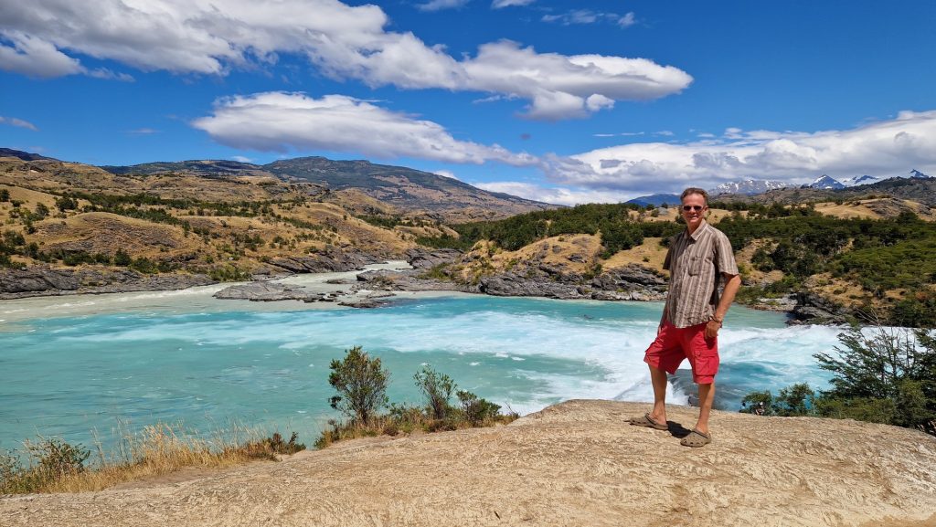
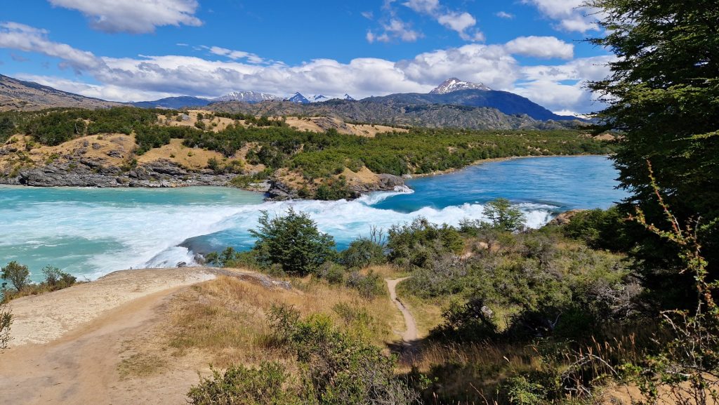
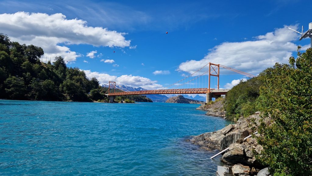
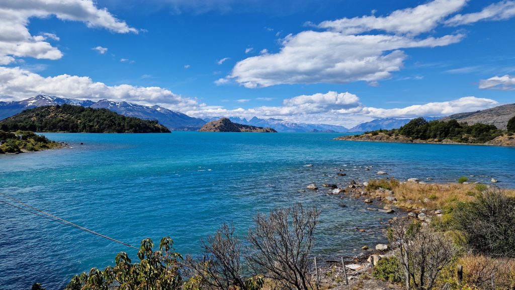
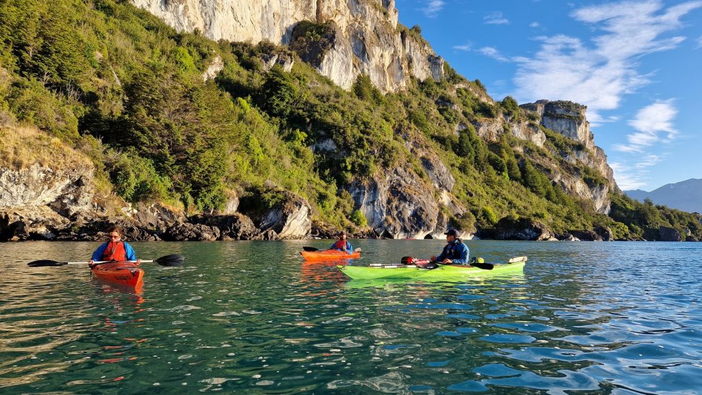
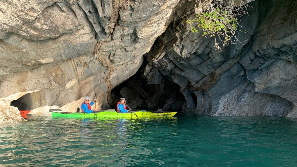
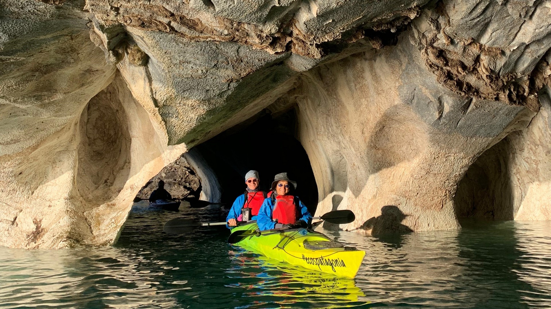
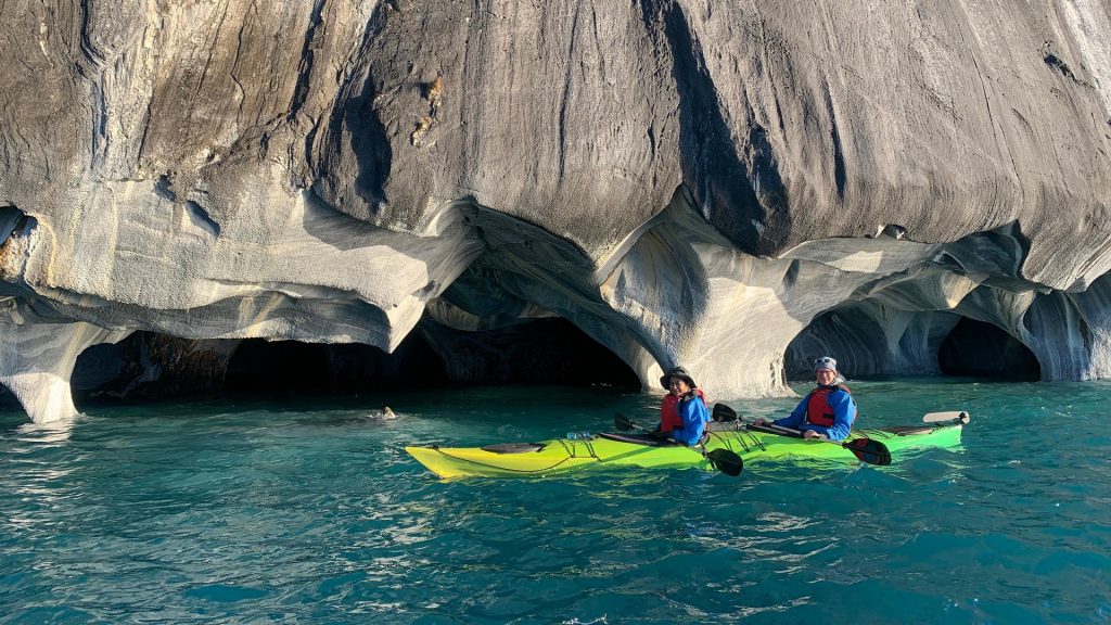
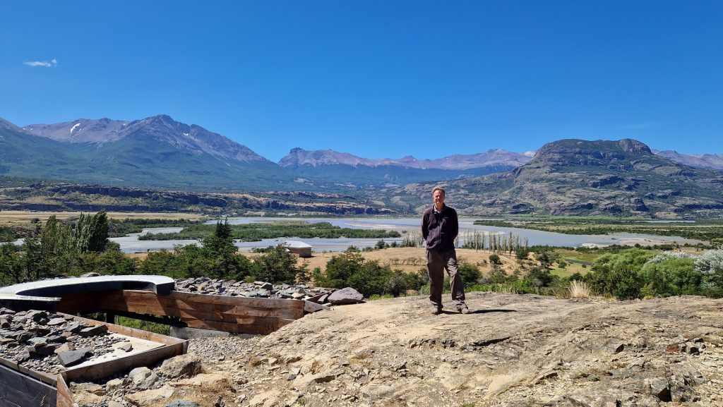
So we turned around at Puerto Yungay and started heading north, calling in at Cochrane once again. From there we drove north along the beginnings of the Andes mountain range to Puerto Rio Tranquilo, a small touristy village, on the banks of the General Carrera lake – the largest in South America and shared with Argentina (where it is called Lago Buenos Aires).
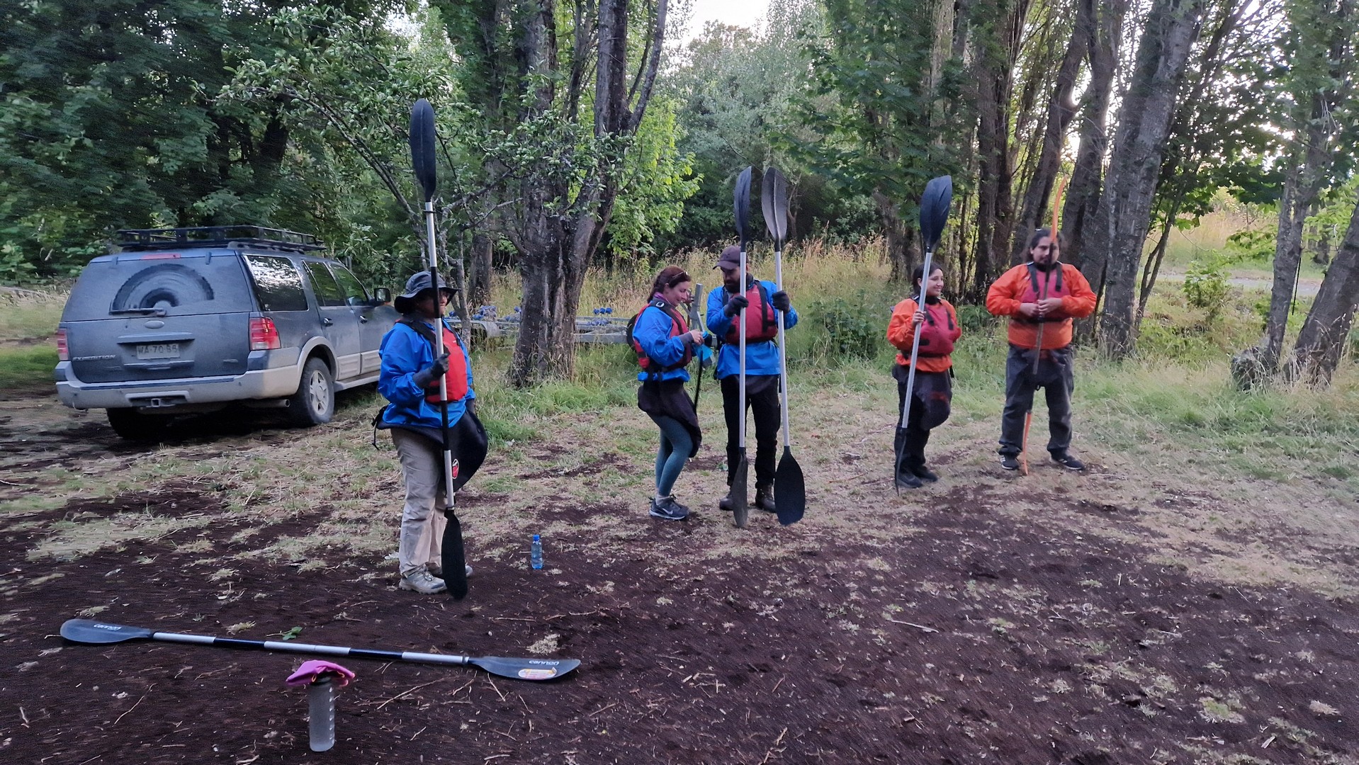
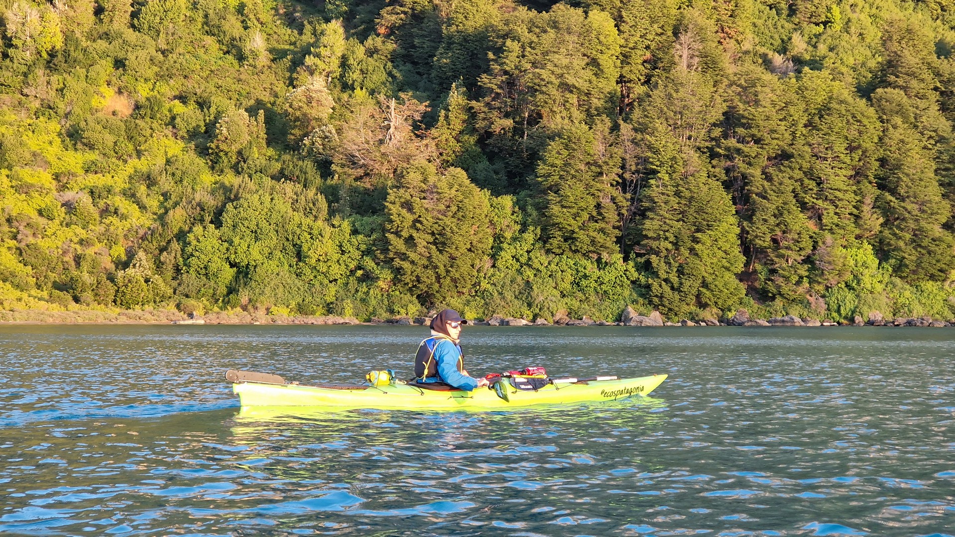
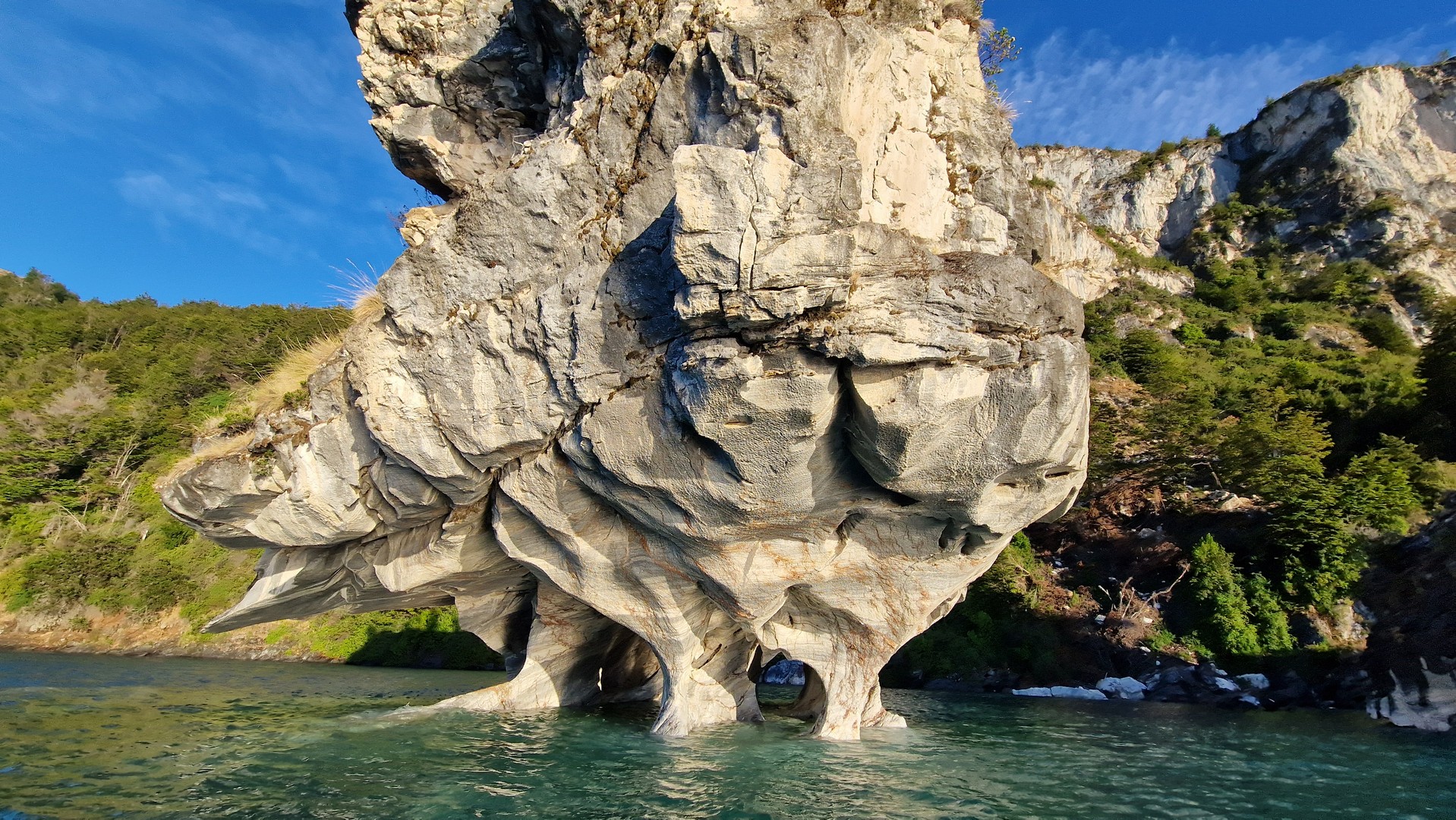
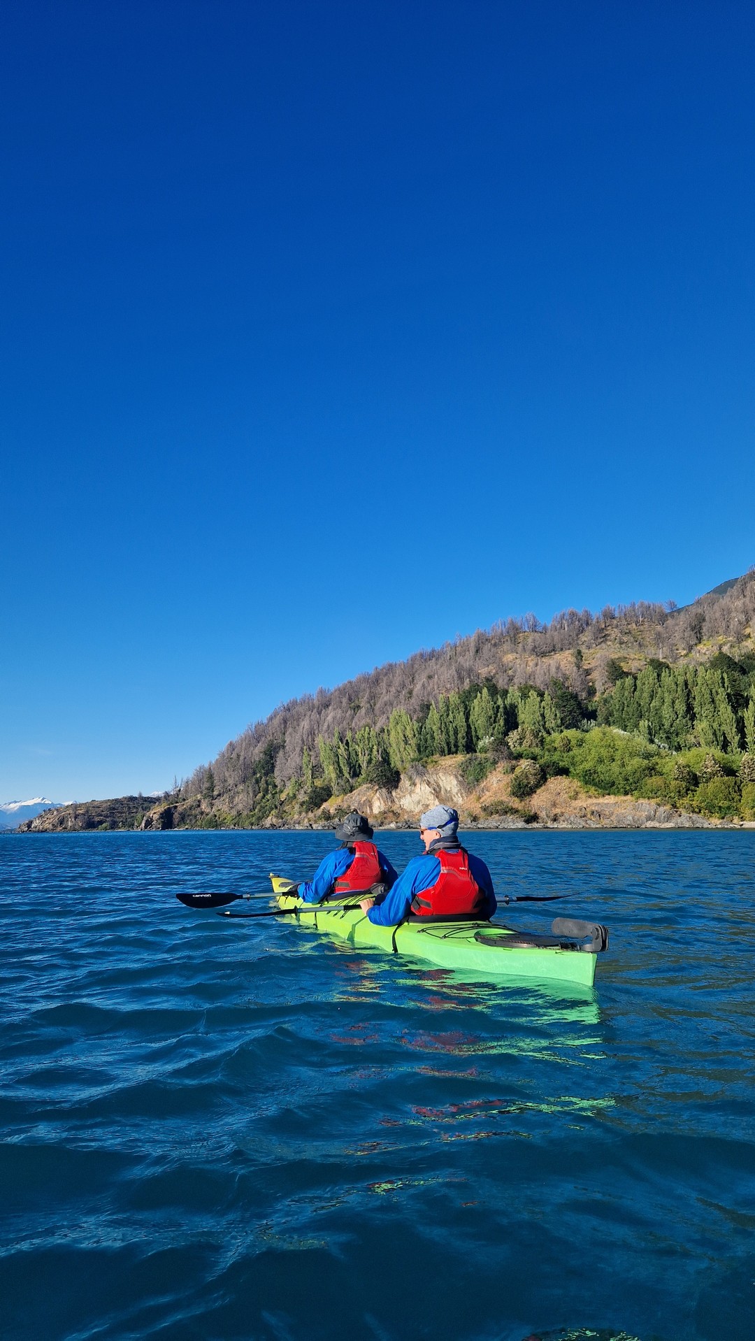
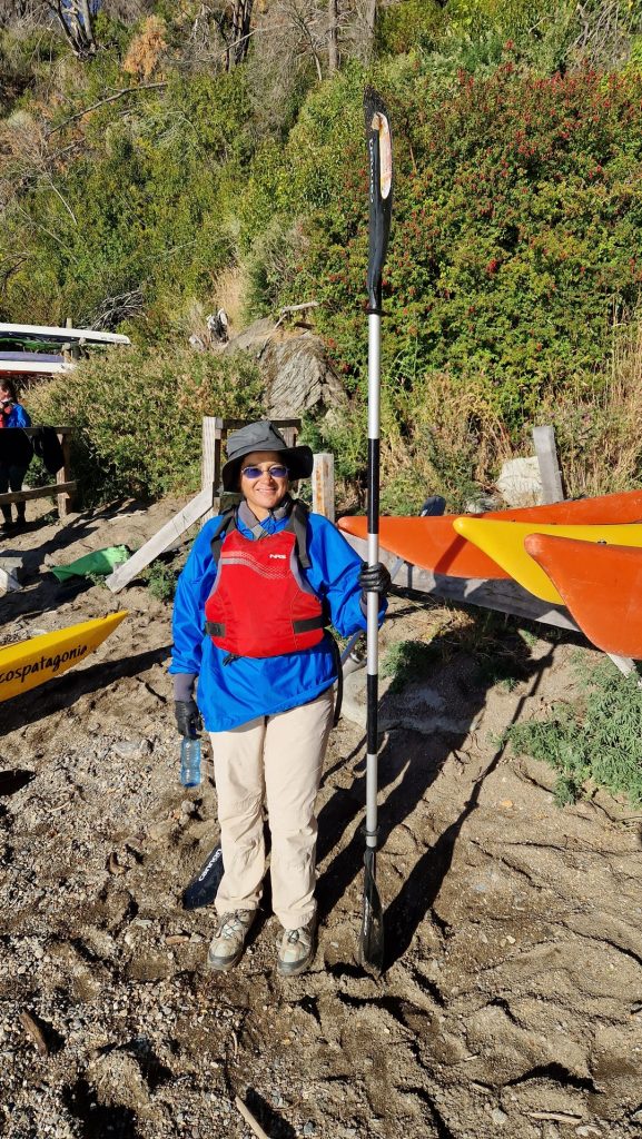
Here there are some interesting marble rock features in the lake and we took a kayak trip to visit them. We started early and it was lovely to see the rising sun cast its rays directly on to the marble. It was great fun to be in a tandem kayak again, and we managed to (mostly) paddle in the right direction.

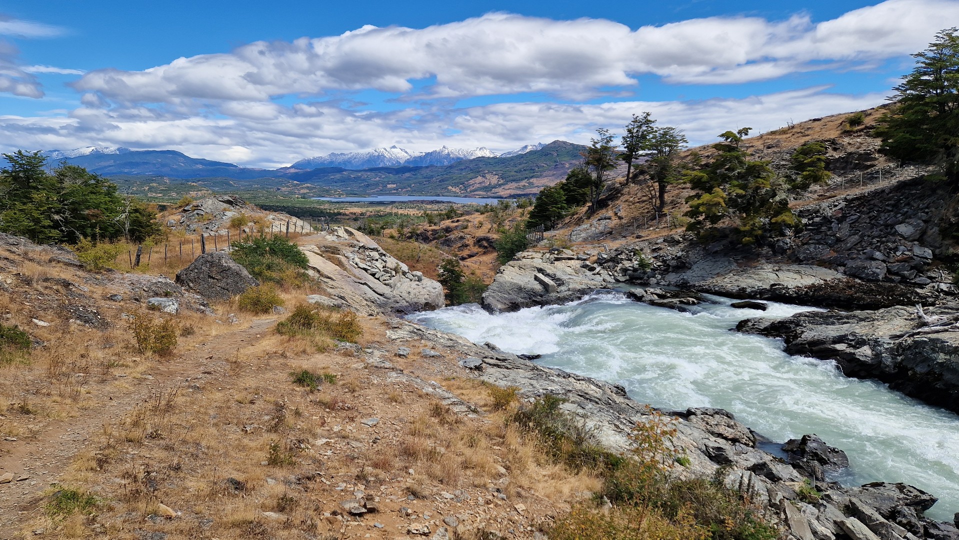
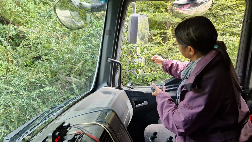
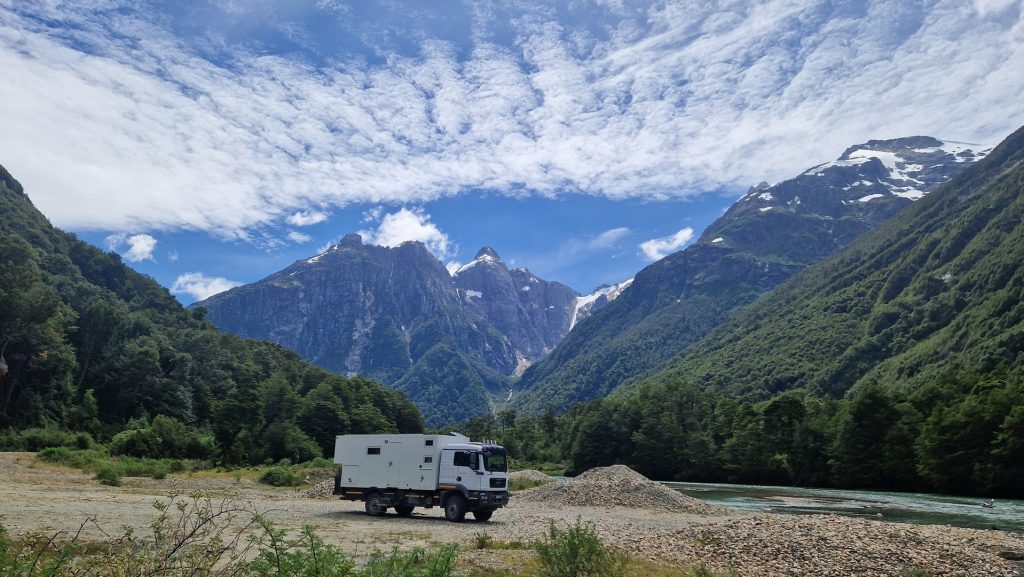
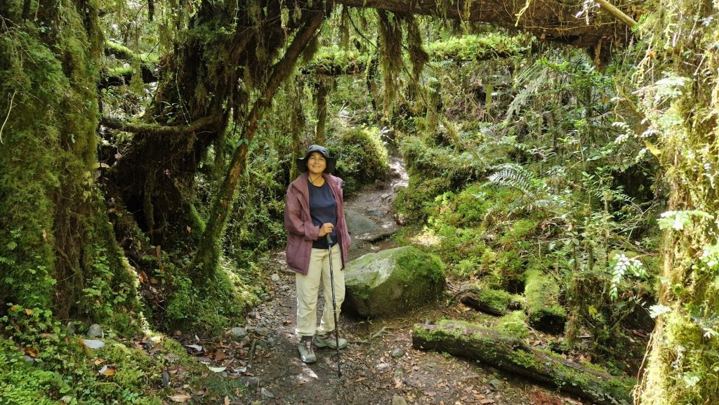
Before continuing north on the Carretera Austral, we took a diversion along the Exploradores valley. The scenery was absolutely stunning and we camped beside the river for the night before returning to Rio Tranquilo for one more night. Francine spotted a wild Calafate bush with ripe berries (like blueberries), so we harvested some.
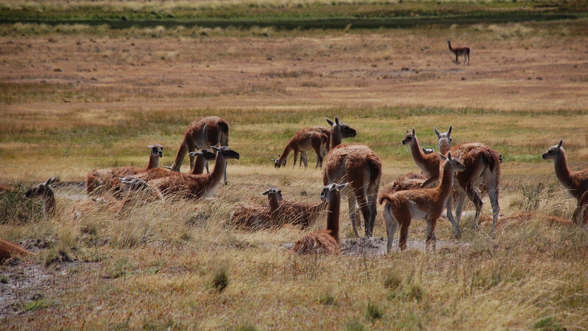
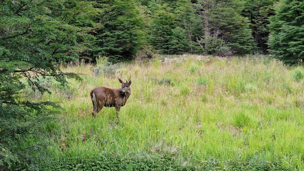
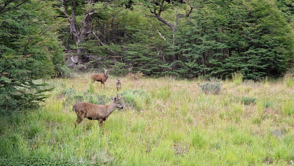
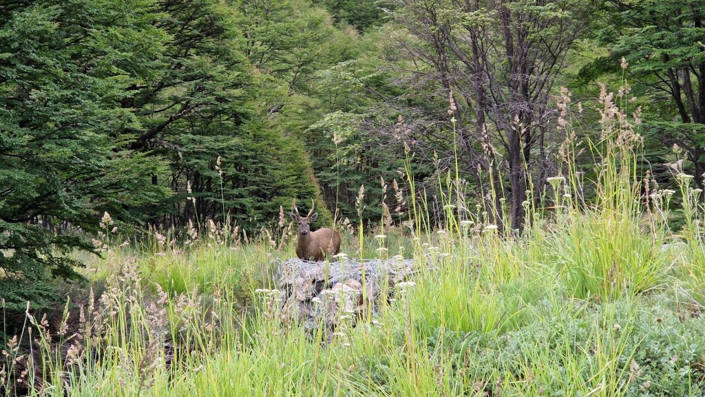
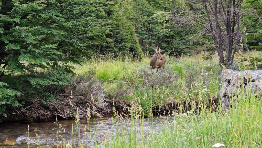
On our way to Coyhaique, the largest town on the Carretera, we saw huemul deer near the road as we drove through Cerro Castilla National Park. We thought ourselves very fortunate to see a family of three near the river. These deer are endangered and number less than two thousand in the wild, so we couldn’t believe it when we drove a bit further and saw another two and then three more!
Coyhaique is a nice town, which we explored while looking for a bank, shopping and dates for Francine’s breakfast (all tasks successfully completed!). David had an excellent lamb stew here too.
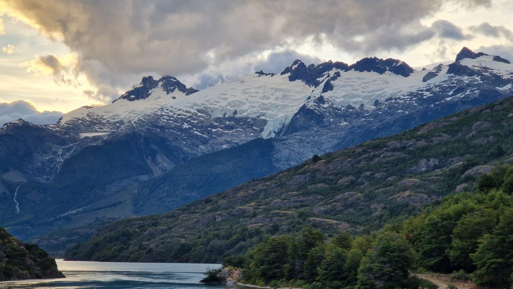
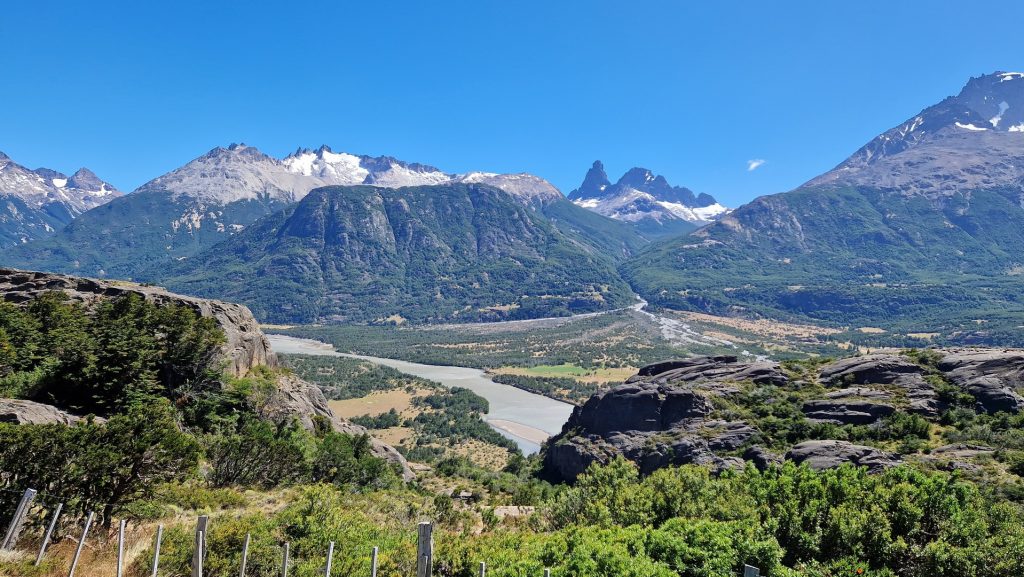
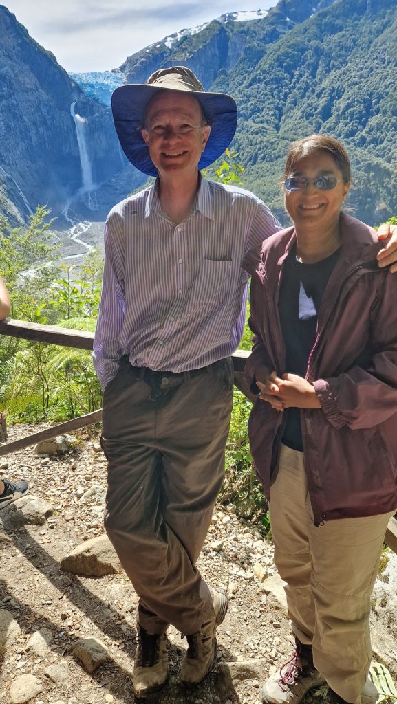
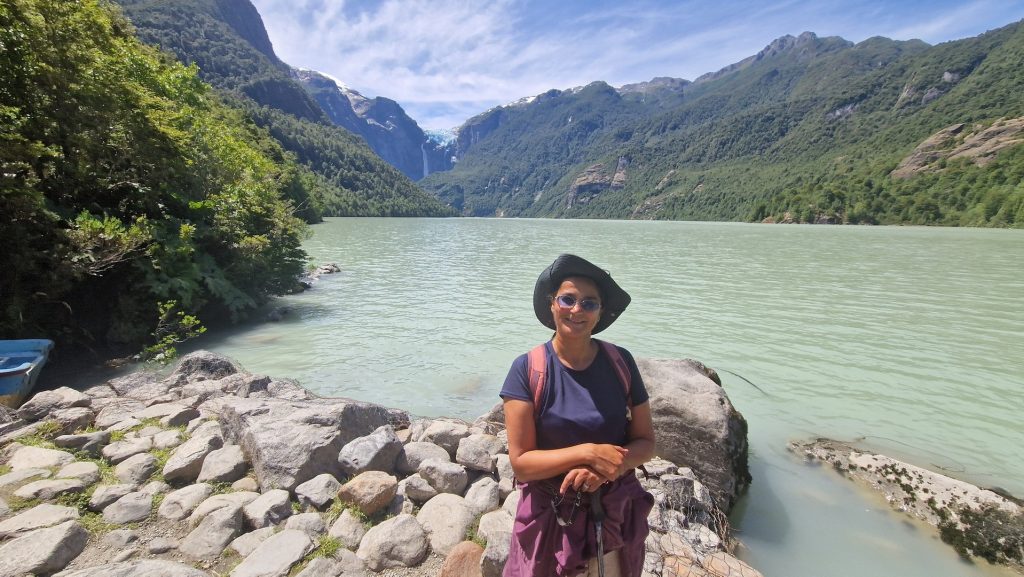
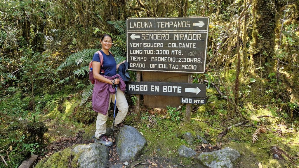
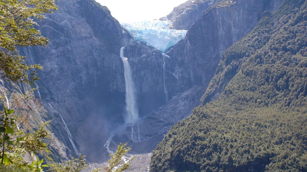
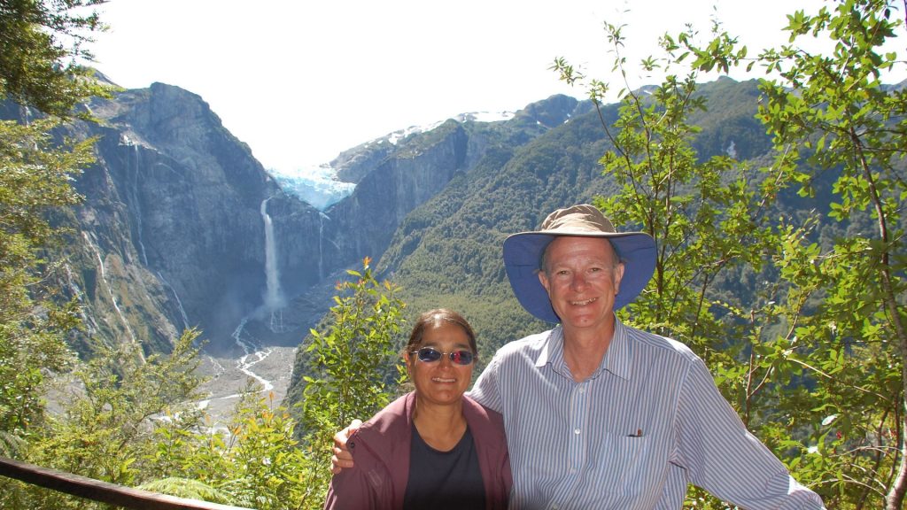
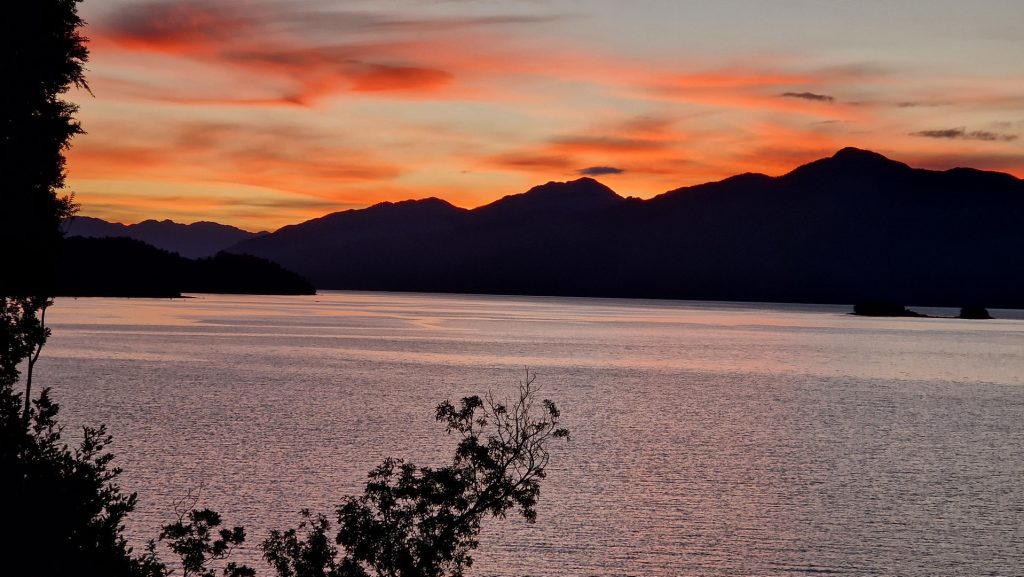
Heading north, the weather was kind to us and we continued to have marvellous views onto mountains, forest and lakes. Arriving at Queulat National Park, we camped by an inlet and were treated to a lovely sunset whilst dolphins swam next to us. The next day we hiked 13km (return) to the “Hanging” glacier (so called because it hangs high up between two peaks), afterwards returning to the lake for more sunsets and dolphins…
Part 2, the final 452km to the end of the Carretera Austral at Pueto Montt, follows in a future post….
Really loved this one. Beautiful scenery and great video. Lots of lovely lakes .
Amazing scenery. You are both doing a great job changing my mind about visiting South America. 😁
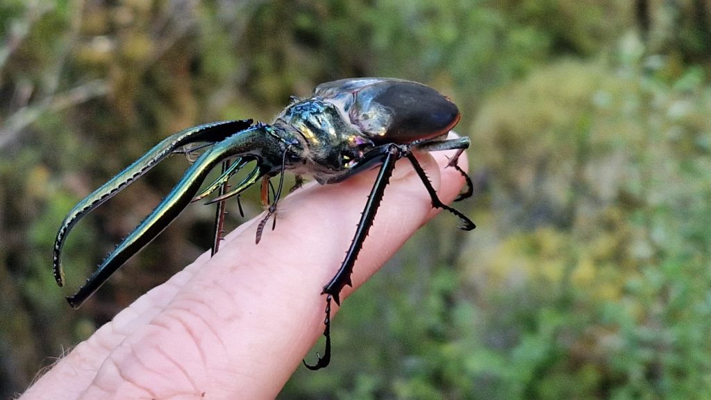
Wow what an amazing discovery!
Spectacular scenery, and wildlife fantastic video Thankyou.
Roll on part 2
😘
Saw you home on wheels on the ferry crossing on the Straits of Magellan. You certainly had an amazing trip to arrive there and sorry I didn’t get to have a chat with you.
All the best and beyond!
Oh shame Ed, we are always up for a chat!